Our Services

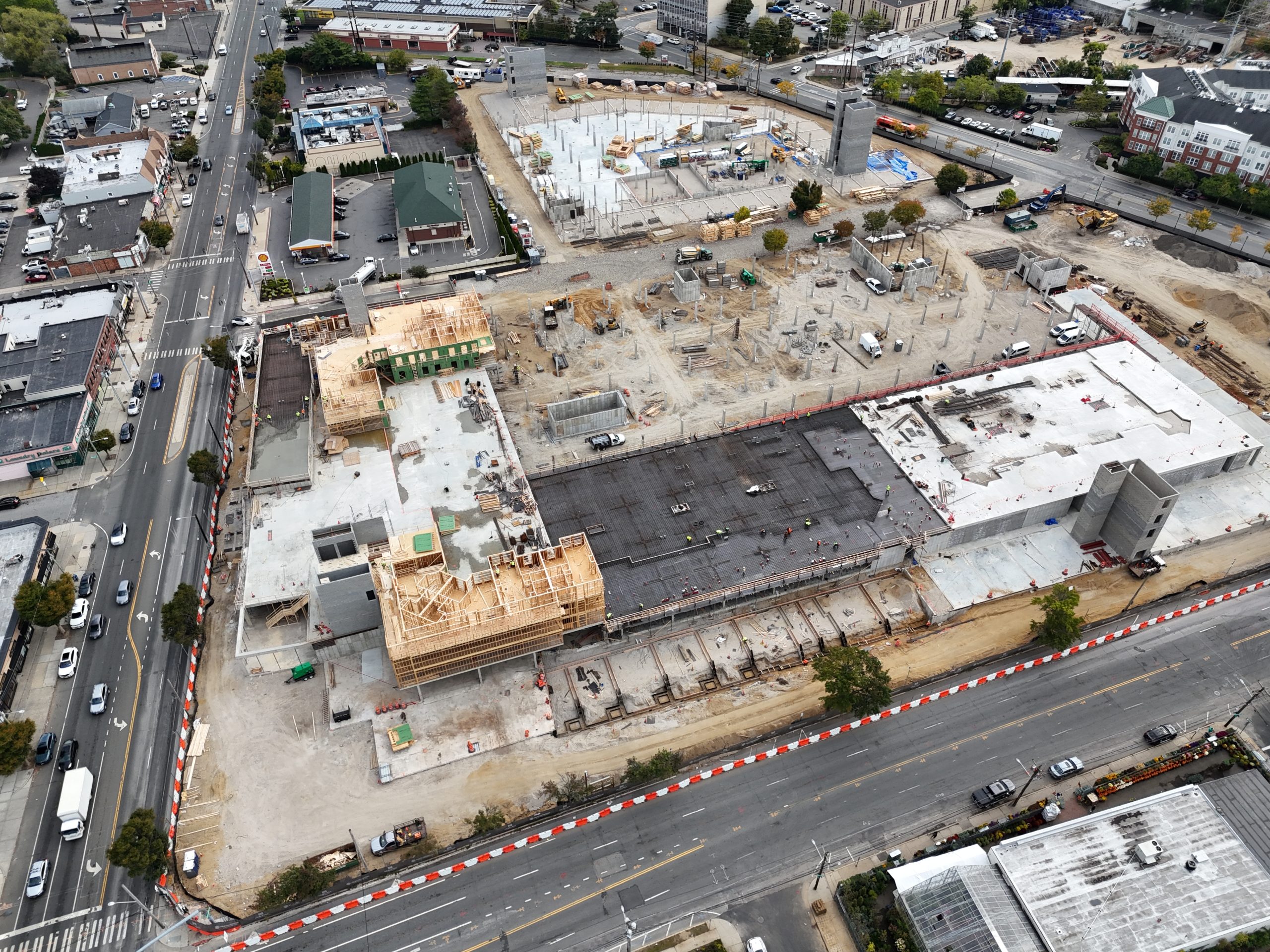
Construction
Aerial imaging transforms construction management with efficient, cost-effective tools. Using advanced drones, we capture real-time visuals to keep projects on schedule and within budget.

Real Estate
Drones elevate real estate marketing by capturing stunning aerial imagery for homes, apartments, resorts, land, and commercial properties. This approach offers buyers a clearer view of the property and its surroundings. Studies show listings with aerial imagery are 68% more likely to sell.

Drone Mapping
Drones offer a cost-efficient alternative to traditional surveying, reducing the need for expensive equipment and labor. They enable quick and efficient site surveys, land use analysis, and environmental monitoring, saving time and resources.

3D Models
Drones simplify the creation of detailed 3D models, offering a fast and cost-effective way to visualize construction sites, terrain, and structures. These models provide valuable insights for planning, monitoring, and presentations.

Aerial Media Content
High-quality photos, videos, and 360° virtual tours that provide dynamic property visualization, capturing every detail to elevate marketing efforts, enhance project presentations, and engage stakeholders effectively.
Ensysta Dashboard
Our dashboard centralizes access to all deliverables—videos, photos, interactive 3D maps, and photogrammetry models. With its user-friendly, shareable platform, it streamlines communication, keeps teams aligned, and enhances decision-making. By providing full project transparency and actionable insights, Ensysta Dashboard ensures you stay in control from start to finish.
ELEVATE YOUR PERSPECTIVE WITH DRONE IMAGERY
We specialize in drone and ground-based photography and video services, primarily serving New York, New Jersey, and Long Island.
Our offerings include:
Immersive Visuals: High-quality video production, virtual tours, and aerial photography.
Dashboard Access: A user-friendly platform to view, share, and manage all project deliverables.
Photogrammetry Services: Detailed 3D models, maps, and elevation data for advanced analysis.
With drone technology, we deliver seamless, high-impact solutions for all your visual and geospatial needs.
QUESTIONS?
Have inquiries about our services, features, free trials, or media opportunities? We’re here to help!